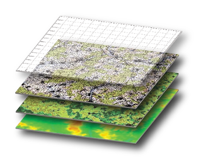
Geographic Information Systems, or GIS, is a computerized data management system that can be used for all industries to capture, store, manage, retrieve, analyze, and display spatial information.
Tillman and Associates GIS team is committed to developing the best solutions for our clients that will enhance workflow, efficiently produce accurate results, and add unrivaled consistency in day-to-day business for any industry.
Geographical Information Systems Services
Geodatabase Development
3D Modeling and Animation
Spatial Analysis
Automation
Mapping
Ready to work with our talented team
on your next project?