Project Owner & Developer: Adena Springs
Project Location: Marion, Sumter, Taylor and Putnam Counties
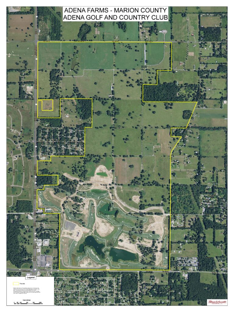
Project: GIS mapping services for land use, parcels, wetlands, floodplains, etc.
GIS services included mapping of geologic features such as land use types, wetlands, water bodies, wells, soils, floodplain, topography, and aerial photos. Maps were processed for the intent of performing building/development siting analysis, property inventory maps, and logging inventory maps.

